Raft Horseshoe Bend for an up close and personal experience with this iconic landmark
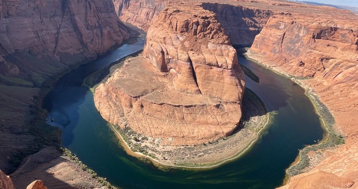
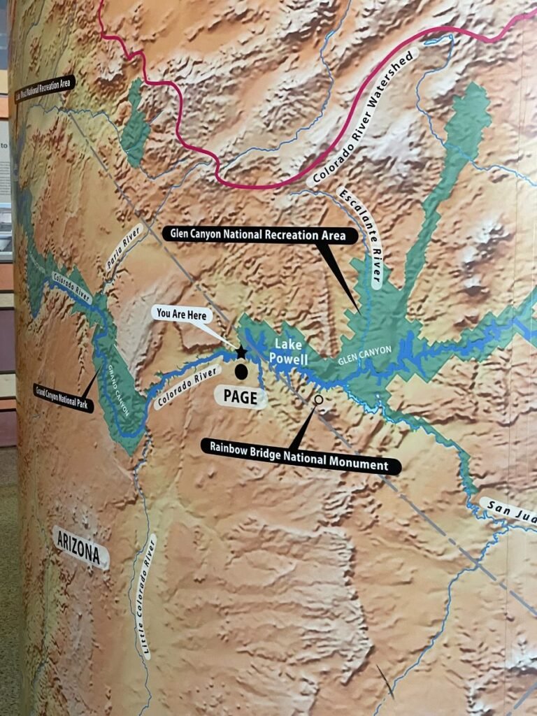
Draw a circle around Page, AZ and you’ll find numerous natural wonders. Among them is Horseshoe Bend, undoubtedly one of the most spectacular landscapes in the state. This near-perfect circular canyon, which is located in Glen Canyon National Recreation Area, was carved into the earth by the Colorado River and is a result of erosion. It was formed by water following its natural path of least resistance, however, in this case, the route was not a straight line, but rather a substantial 270 degree curve.
For the best view of this natural masterpiece, hike the 1.5-mile roundtrip path to the overlook and gaze at the sheer cliff walls of Navajo sandstone. In the process of erosion over millions and millions of years, this type of dense sandstone acted as a barrier, forcing the water to make a sharp bend in the river through softer rocks. Look down an astonishing 1,000 feet below you to the mighty Colorado River and marvel at its blue-green color. As to how cold the water is, the temperature is always forty degrees because it flows from the bottom of the Glen Canyon Dam.
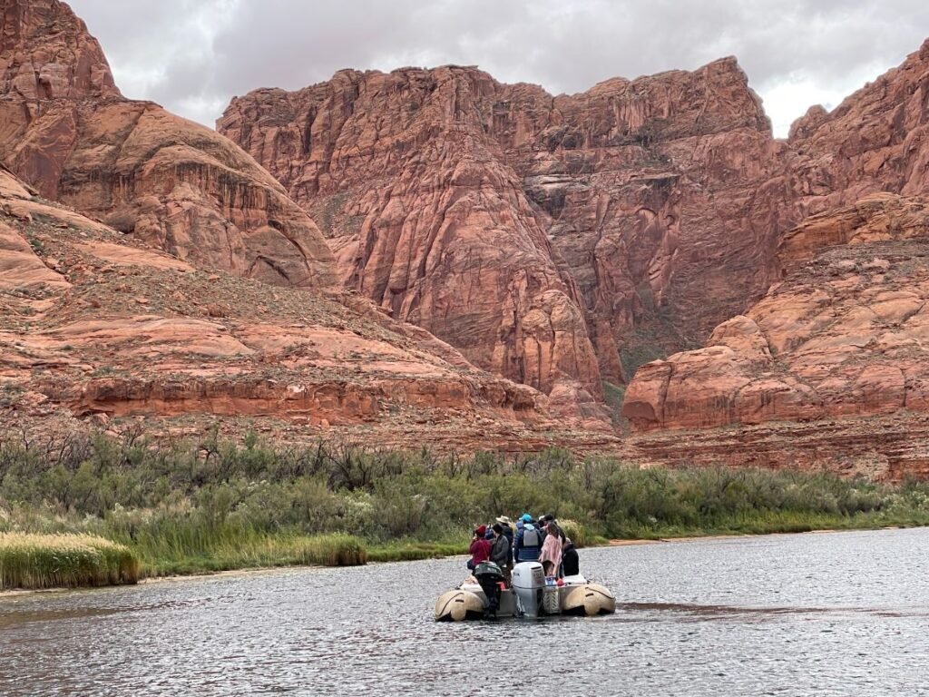
Awe-inspiring scenery
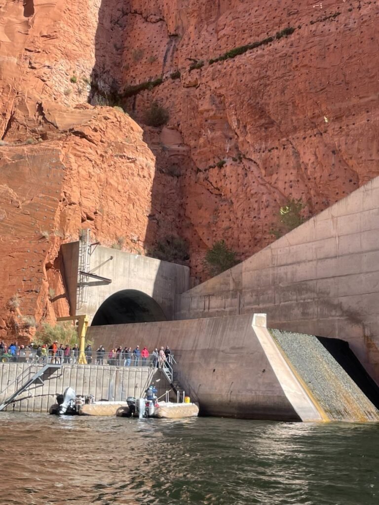
Boarding the rafts
Though there are railings along the central part of the cliff where the overlook is, there are other spots where there’s nothing between you and the steep drop off. Obey the rules of common sense and take care not to get too close to the edge when trying to take that perfect selfie.
For a more intimate look at this dramatic landscape, opt to do a half-day Horseshoe Bend Rafting Trip with Wilderness River Adventures. With over fifty years of experience in the business, the company specializes in multi-day, motor-powered and oar-powered white water rafting adventures on the Colorado River through the Grand Canyon and motor-powered raft trips around the calm waters of Horseshoe Bend. The company focuses on guest services and safety as their top priorities, and it takes pride in ensuring memorable experiences for once-in-a-lifetime adventures.

Desert varnish
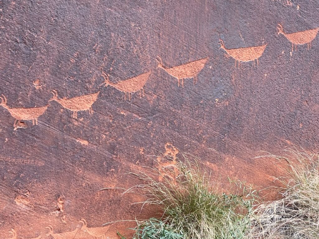
Petroglyphs
You’ll board your raft next to Glen Canyon Dam. In 1963, a reservoir, Lake Powell, was created by the construction of the dam, flooding much of the canyon beneath water hundreds of feet in depth. Nearly five million cubic yards of concrete, enough to build a two-lane highway from Phoenix to Chicago, were used to construct the dam, the top of which is 25 feet wide. Its turbines produce 1,320 megawatts, which provide electricity for a whopping 1.7 million people. To learn more about the dam, stop in at the Carl Hayden Visitor Center, the main hub for Glen Canyon National Recreation Area, and peruse the exhibits about recreation and historic water use. The views of the dam, Lake Powell and the canyon are an added bonus.
Your guide will regale you with information about the geology, history and wildlife in the area as you float down the river. You’ll learn about John Wesley Powell, noted explorer of the American West. A one-armed Civil War veteran, Powell and his crew of mountain men took off in 1869 on a momentous 1,000-mile, three-month expedition to map one of the last blank spaces left on the U.S. map – the Green and Colorado Rivers through what would become known as the Grand Canyon.
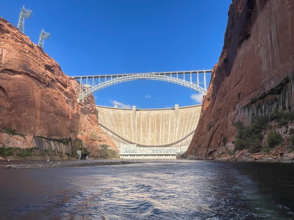
View of Glen Canyon Dam from the raft
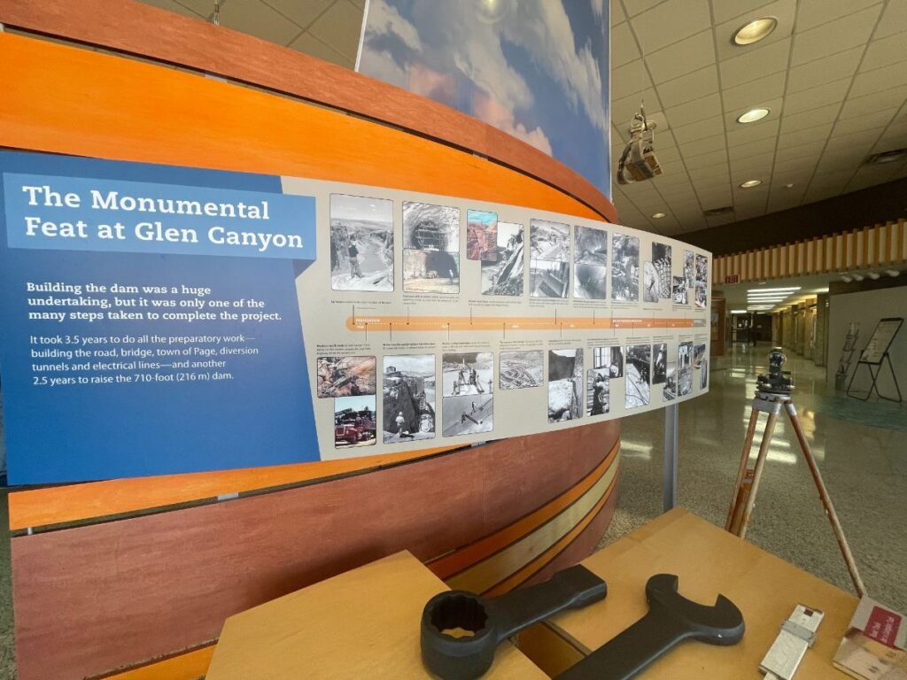
Visitor Center
When Powell arrived at what is now Glen Canyon, he described it as a “land of beauty and glory,” and named it for its many glens and alcoves near the river. A hundred or so years later when the canyon was flooded by the Glen Canyon Dam, it formed a lake named for the one-armed explorer.
On the raft trip, you’ll see plenty of desert varnish on the canyon walls, which is responsible for their striking hues and textures. This reddish orange-to-black coating is composed of clay minerals, oxides, manganese and/or iron. The color of the varnish depends on the amounts of these elements. It’s found on rock surfaces in arid regions and can take thousands of years to completely coat a surface.
Unique formations dot the route and you might spot some that resemble facial shapes or animals, or perhaps Star Wars characters like Jabba the Hut. And there’s even a pair that looks like the logos for the Baltimore Ravens and the Philadelphia Eagles football teams! It’s funny how we see modern day elements in these ancient rocks.
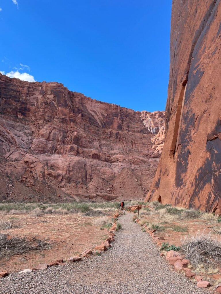
Path to Petroglyph Beach
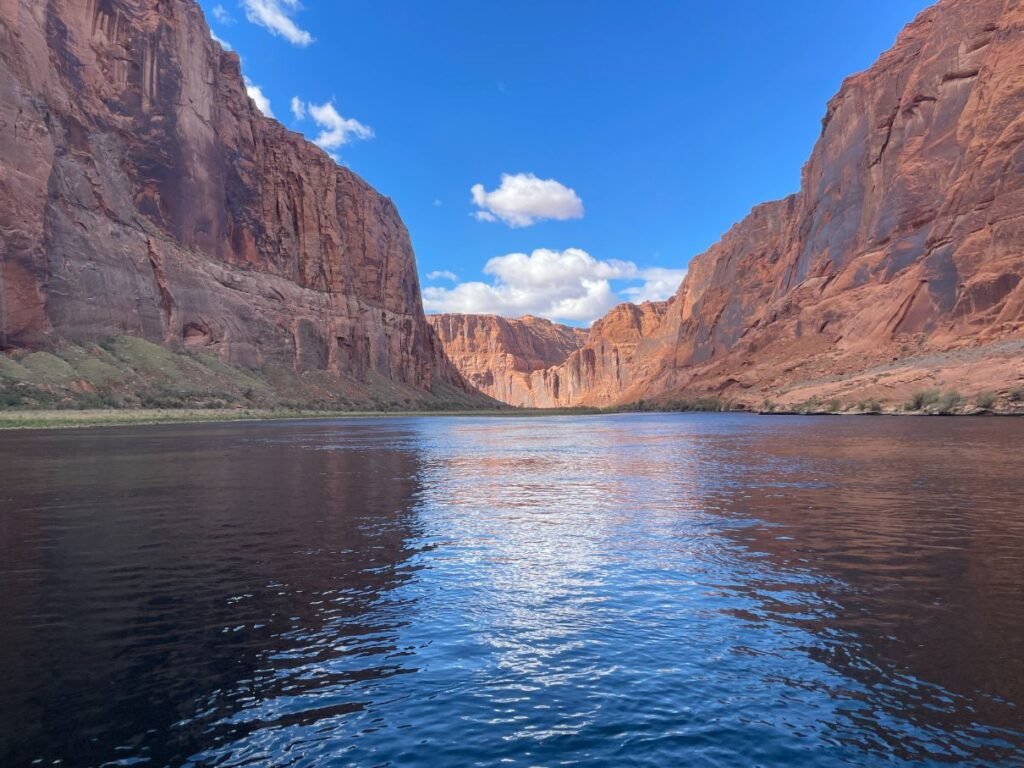
Peaceful scene
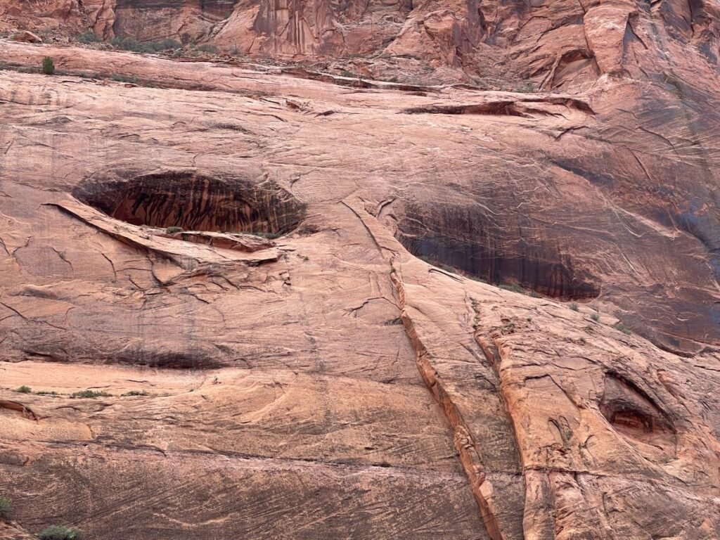
These eyes are watching you!
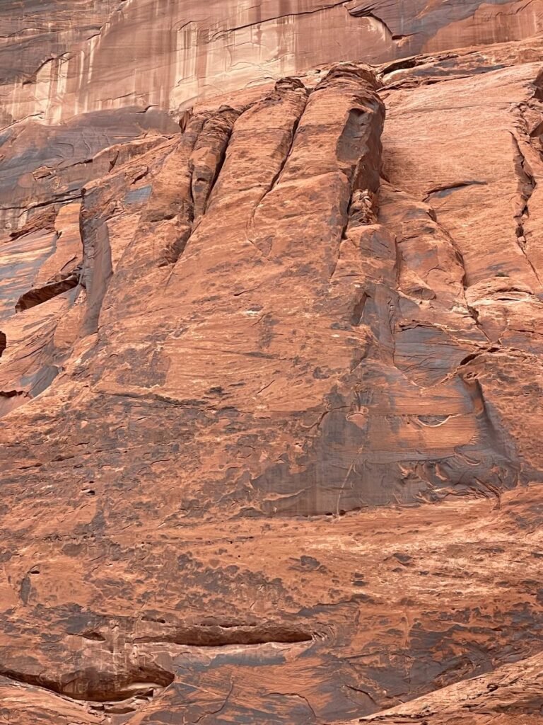
This shape resembles a hand
At Petroglyph Beach, you’ll get off the raft and walk the short trail to see the petroglyph panels. Petroglyphs are images carved directly into the rock; whereas, pictographs are images drawn or painted onto the rock. The petroglyphs you’ll see are symbols that have significance and meaning to the Native Americans of the region, primarily the Hopi and the Navajo, and are considered sacred. Some can date back to 12,000 years ago or as recent as 200 years ago. Animals, such as bighorn sheep and possibly birds, along with an assortment of geometric shapes and hunting scenes are depicted on this impressive panel.
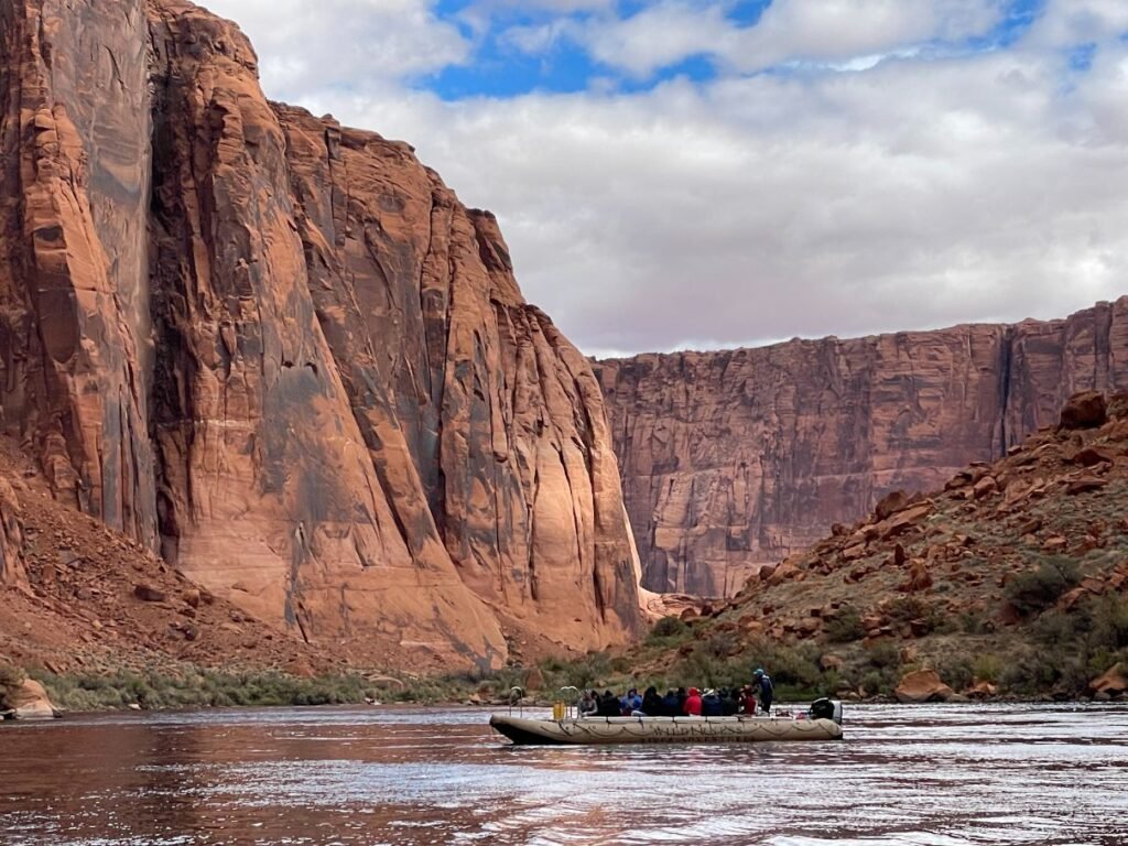
As you head around Horseshoe Bend, the ginormous formation will appear even more massive than when you viewed it from above. It takes centerstage in sentinel fashion and you appreciate its true size from how long it takes to circumnavigate it. This perspective also makes you feel small and insignificant in relation to such a behemoth. Look way up to the rim of the canyon and you can just make out the tiny stick figures of the people atop it.
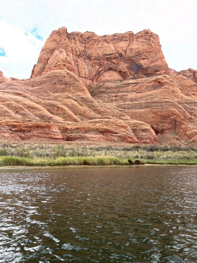
Stalwart butte
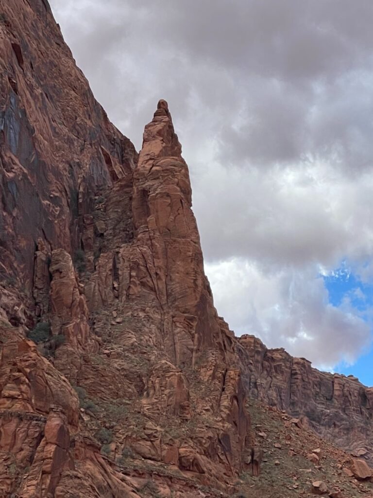
Tall and imposing landform
If you’re lucky, you might spy some bighorn sheep or wild horses. On my trip, we saw a pair of the latter down by the river quenching their thirst. Our guide told us the area is also home to bobcats, mountain lions and coyotes, but these creatures are rarely seen. It’s also a birding hotspot with eagles and condors and several rare species. And if you’re a fisherman/woman, feast your rods on bass, walleye, rainbow trout and more.
In total, you’ll raft fifteen miles and finish the trip at Lees Ferry, where you’ll board a bus for the ride back to Page. Along the way, you’ll pass the famed Vermillion Cliffs, Marble Canyon, Navajo Bridge and other geologic wonders.
If you go: Wilderness River Adventures offers its half-day Horseshoe Bend Raft Trip from the beginning of March through the end of October. Plan ahead for 2023, as the trips get booked up in advance.
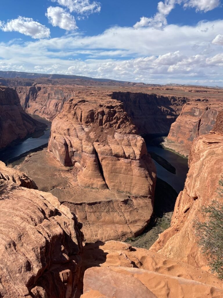
Horseshoe Bend


